The 1745 Association
Join us in preserving the Jacobite history and memory of the 1745 rising.
Join us today and learn!
★★★★★
Welcome to The 1745 Association
The 1745 Association is a Scottish Charitable incorporated Organisation (SCIO) regulated by The Scottish Charity Regulator (OSCR), Scottish Charity Number: SC050640
The Association is a non-political historical association, the objectives of which are:-
To study the Jacobite period.
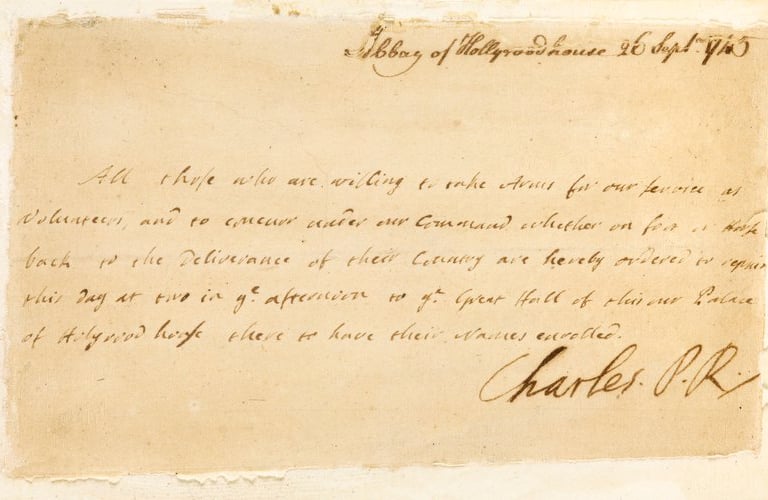
To record and preserve the memory of those who actively participated in, or who had connections with the '45.
To mark the appropriate historical sites.
To endeavour to safeguard the Jacobite heritage.
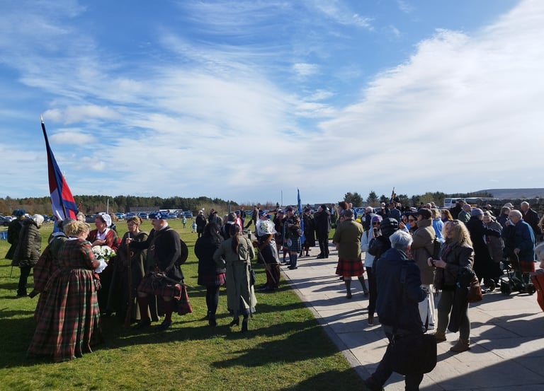
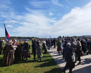
A warm and friendly welcome is extended to all who share an interest in Jacobite history and in particular the events of the 1745 Rising and its aftermath.
We encourage you to consider joining our growing membership.

Explore Jacobite Heritage
Join us in preserving the rich history of the Jacobite period and its participants.
Historical Research
We study and document the Jacobite period and its significant events.
Site Preservation
We mark and safeguard important historical sites related to the Jacobite heritage.
Community Engagement
We welcome all who share an interest in Jacobite history and heritage.
Our Constitution and The 1745 Association Library
Explore projects preserving Jacobite history and commemorating the past.
The 1745 Association Constitution
You will find the Constitution of The 1745 Association by following the arrow. This provides full details of our aims and rules & regulations

The 1745 Association Library
The Association library is located within the AK Bell Library, Perth. Officially opened on 9th September 2022 as part of the members Annual Gathering. For more information please follow the link
The 1745 Association
Preserving Jacobite history and its significant sites.
© 2026. All rights reserved.